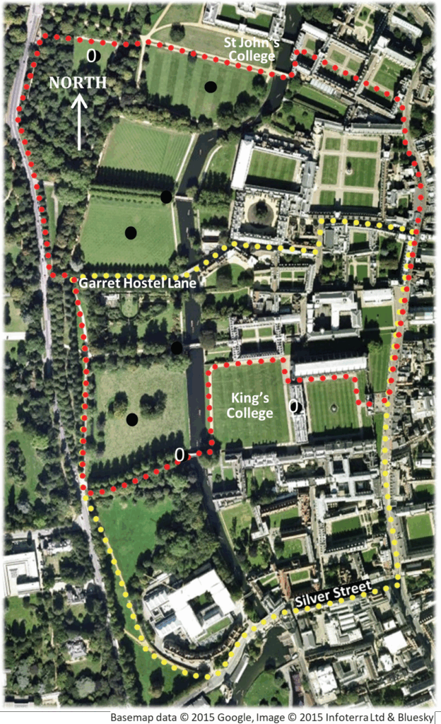
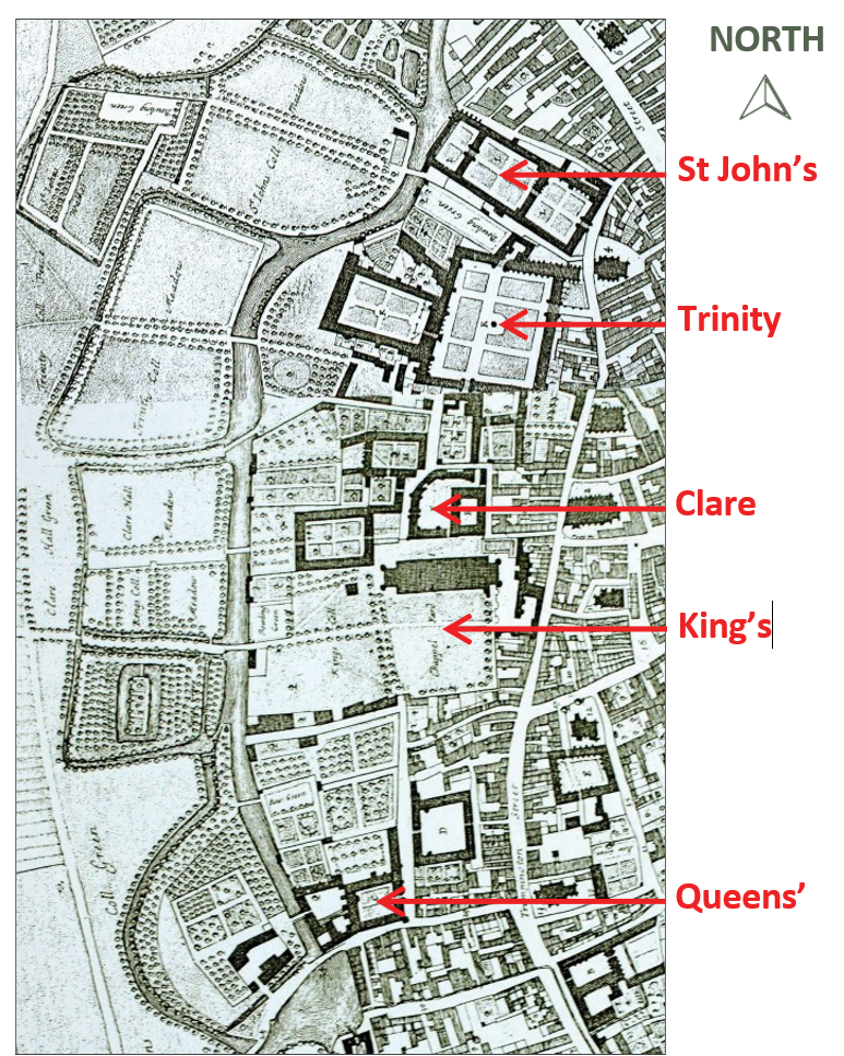
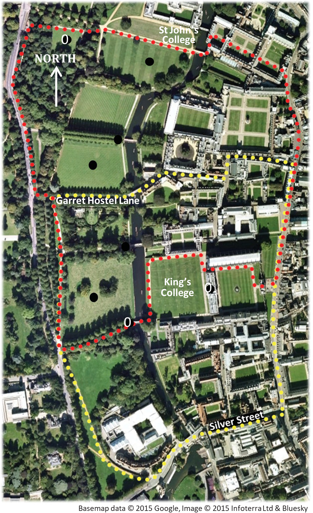
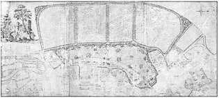
From the 14th century monastic houses and the colleges transformed the town by acquiring land and gradually removing the wharves. For example, Henry VI took land to build King’s College Chapel. Over time this reduced the economic wellbeing of the town and the colleges were able to increase their holdings further. David Loggan’s map of 1688 (2) shows the college acquisitions west of the River Cam.
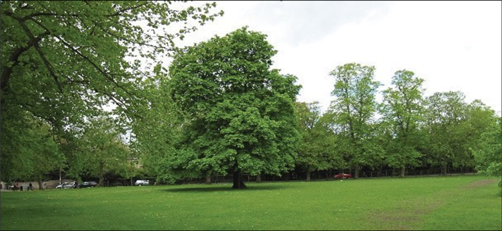
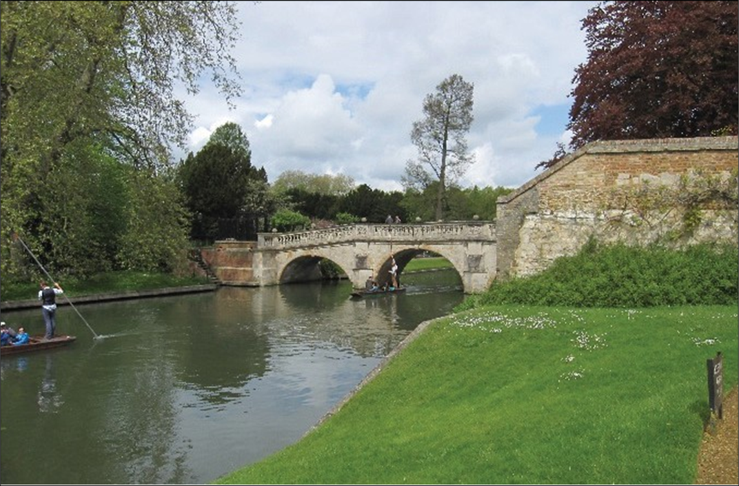
In 1765 a new bridge, designed by James Essex, was built by Trinity College as part of the colleges’ continuing land purchases. In the 1760s and 1770s the floodplain land was turfed to create lawns and the area became known as ‘The Backs’ (3).
‘beautiful Colleges, groves, gardens and green fields lying on the banks of the river … agreeably intermixed; and the stone bridges of several Colleges over the river add to the beauty of it.’ Cantabrigia Depicta, Jeremy Bentham, 1763
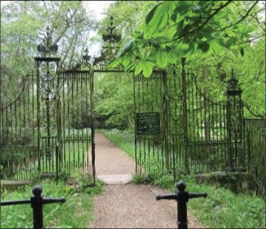
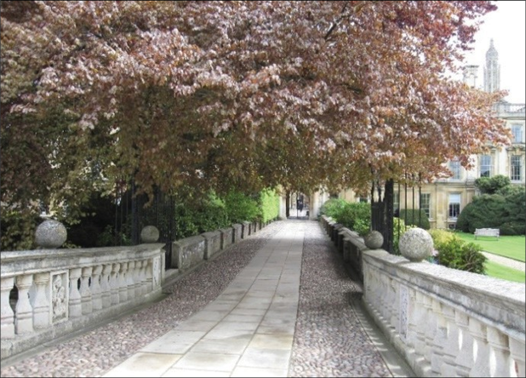
The Colleges were evolving as separate entities with different formal garden design principles applied to each segment of the Backs. Thus, Lancelot Brown was first approached by St John’s and worked from 1773-78 on preparing plans for the College Gardens (4).
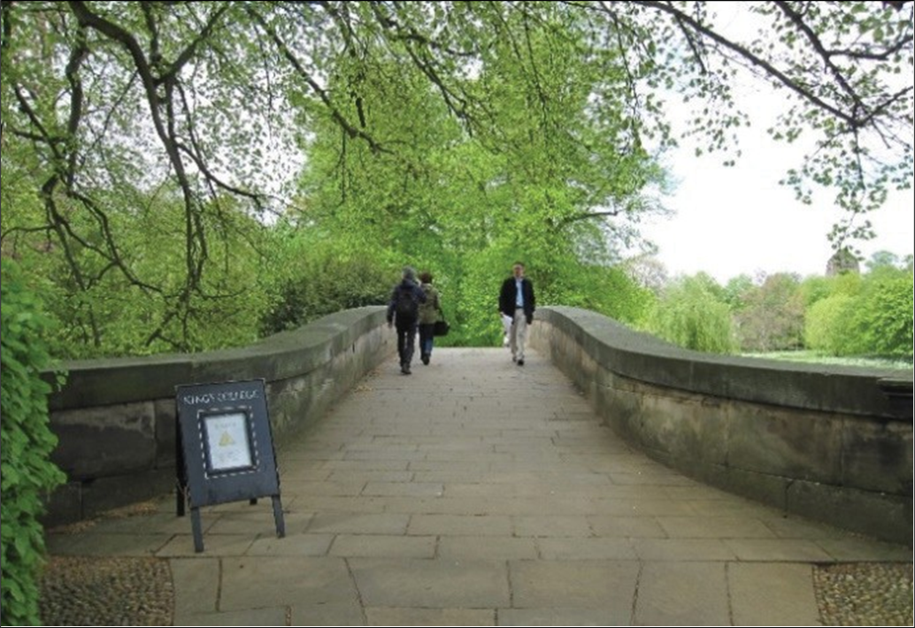
In his capacity as University Chancellor, the Duke of Grafton invited Brown in 1779 to suggest ‘Some Alterations’ to the Backs as a whole. Brown proposed that the single landscapes be unified into one park with four separate paddocks; widening the river to create a lake; and removing formal avenues, college bridges (5,6,7) and boundaries.
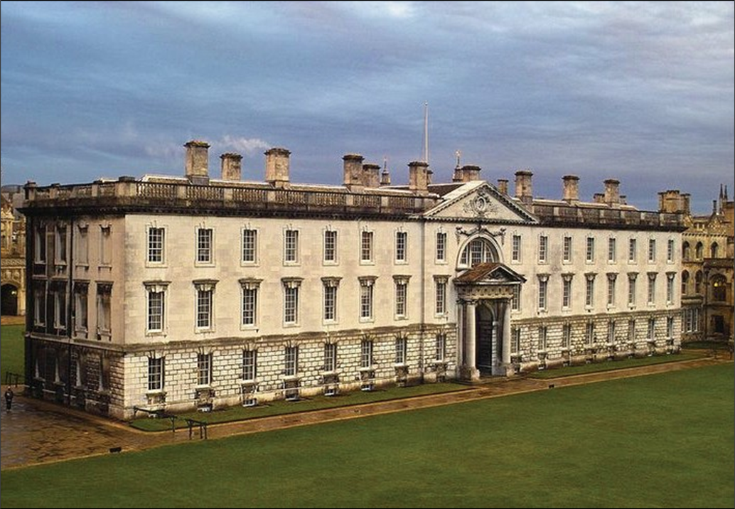
The unified park landscape would be focused on James Gibbs’ Fellows’ Building (1) at King’s College, with neighbouring buildings of Trinity and Clare Colleges featuring as secondary outbuildings. Whilst Brown was praised for his paper plan and doing ‘wonders on a plain surface’, the Colleges could not agree on his radical vision of a surrogate mansion in a park landscape and the plan was never realised. Brown was presented with a silver salver for his efforts.
